

The path creaks underfoot as one walks on a bed of black volcanic rock, flanked by dry stone walls made of basalt that delineate the mandarin orchards. The Jeju Olle Trail is a network of 26 routes that surround the island of Jeju, in southern South Korea, totaling over 400 kilometers of coastal and hilly trails. Route 16, known as Gonae-Gwangnyeong Olle, is one of the paths that traverse the northern coast of the island, combining stretches by the sea with incursions into the rural hinterland.
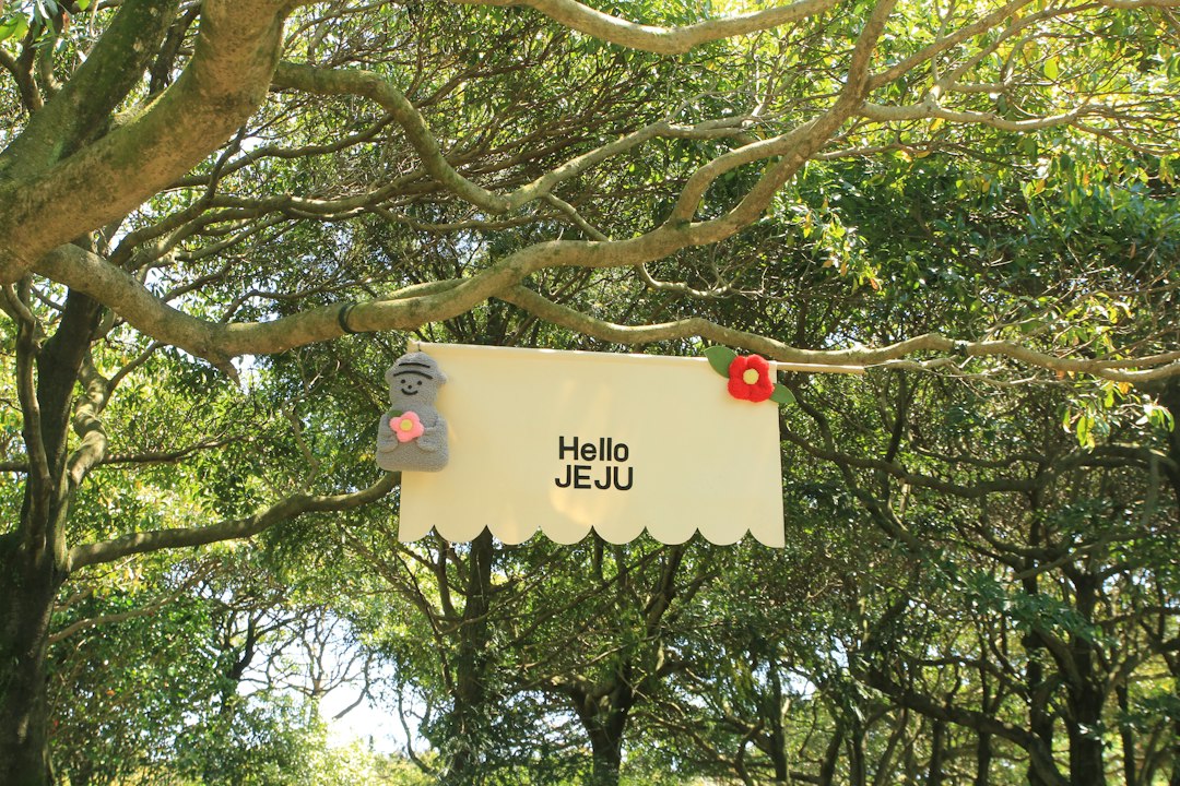
The Olle network was inaugurated in 2007 thanks to the initiative of Seo Myung-sook, a journalist who was inspired by the paths of the Basque Country to create an accessible and marked trekking system. The name "olle" comes from the Jeju dialect and refers to the small alley that connects the main road to the entrance of a house: an image that well summarizes the philosophy of the trail, made up of intimate passages between cultivated fields, fishing villages, and wind-swept stretches of coast.
The route of Path 16
Path 16 extends for about 15 kilometers between the locations of Gonae and Gwangnyeong, in the northern area of Jeju-si. The trail is not technically difficult: the elevation change is limited and the terrain is mostly flat or gently undulating, making it suitable even for those without trekking experience. The signage is provided by blue and orange ribbons tied to trees and small signs with the symbol of the wild horse, emblem of the entire Olle network.
Along the route, there are coastal sections where solidified lava forms flat platforms that drop directly into the sea, creating visually striking landscapes. In some places, it is possible to observe the haenyeo, the traditional female divers of Jeju, who still practice free diving for fishing in the coastal waters. This practice has been recognized by UNESCO as an Intangible Cultural Heritage of Humanity since 2016.
What you encounter along the way
As you move inland, the path crosses tangerine plantations — the symbolic fruit of Jeju — with low trees heavy with fruit during the autumn season. The black basalt walls that border the fields are a constant and characteristic presence: built without mortar, they have been erected over the centuries by local farmers to protect the crops from the wind. Many of these walls are now protected as elements of the island's traditional cultural landscape.
In some stretches, the trail runs alongside small greenhouses where vegetables and flowers are grown, and you pass through rural villages where life flows at a slow pace. The volcanic cones — called oreum in the local dialect — are visible in the distance, rounded shapes that dot the green horizon of the island. Jeju has over 360 oreum scattered throughout the territory, remnants of the intense volcanic activity that has shaped the island over millennia.
Practical information for trekking
The average time to complete Route 16 is 4-5 hours at a moderate pace, without long breaks. The trail can be traveled in both directions, but the official direction goes from Gonae to Gwangnyeong. The starting points are accessible by bus from the city of Jeju, although connections in rural areas may be less frequent: it is advisable to check the schedules in advance or consider using a taxi to reach the starting point.
The best season for walking is spring (March-May), when temperatures are mild and vegetation is lush, or autumn (October-November), when the mandarins are ripe and the colors of the landscape are particularly vibrant. Summer is hot and humid, with the possibility of typhoons; winter is passable but can be windy along the coast. It is always useful to carry enough water, as supply points along the route are not guaranteed in all sections. The Olle passports — small booklets to be stamped at stations along the route — are available at visitor centers and represent a tangible souvenir of the journey.
The context of Jeju Island
Jeju is a volcanic island located about 80 kilometers south of the Korean Peninsula. It is the smallest province of South Korea and enjoys a special administrative status. Its highest point is the volcano Hallasan, with its 1,950 meters, which dominates the center of the island and is visible from many stretches of the Olle trail on clear days. Walking on Route 16 means crossing a landscape built on millennia of volcanic, agricultural, and maritime history, where every element — from the rock underfoot to the wall along the field — tells something concrete and observable.