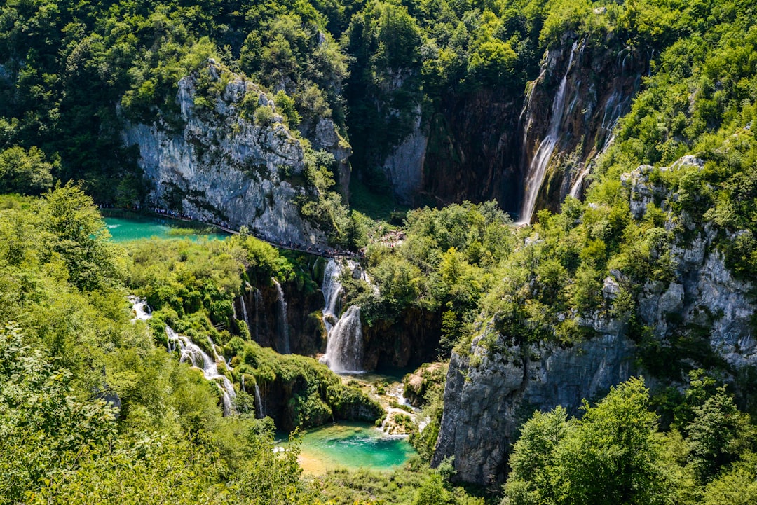

The border between Montenegro and Albania is not marked by a fence or a visible checkpoint, but by a limestone ridge that rises sharply above 2,500 meters. Here, in the Prokletije National Park, established in 2009 in the municipality of Plav, the trails are not marked for the average tourist: they are paths that local shepherds have trodden for centuries, moving their flocks between summer pastures and the villages below. Walking on these trails means following a logic that is not that of modern trekking, but that of survival in a territory that remains, for many months of the year, cut off from the rest of the world.
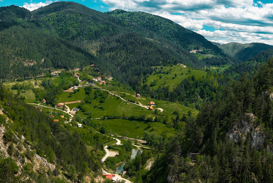
The park covers about 16,630 hectares in the southeastern part of Montenegro, and is part of a transboundary ecosystem that includes Theth National Park in Albania and Valbonë National Park. Together they form the so-called Balkan Nature Peace, one of the largest transboundary protected areas in southern Europe. The main access point remains the town of Plav, with its namesake lake that reflects the snow-capped peaks even in late spring, and serves as a visual orientation for the trails that ascend towards the northeast.
The path to Lake Hrid and the border peaks
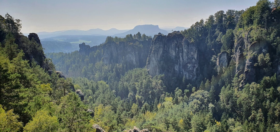
One of the most frequented routes starts from the area of Gusinje, a village a few kilometers from Plav inhabited for centuries by Muslim Albanophone communities, and ascends towards Lake Hrid, a glacial basin located at about 1,967 meters above sea level. The path steadily gains elevation through dense beech forests where light filters through with difficulty, then emerges onto open pastures where the tracks of livestock overlap with those of hikers. The surface is often rocky and damp, with sections where the path becomes a natural channel for melting water.
Upon reaching the lake, the landscape changes radically: the waters are a dark, almost opaque green, surrounded by limestone walls that drop vertically into the water. There are no accommodation facilities near the lake itself, and this helps to maintain the atmosphere of isolation that characterizes the entire park. From here, the more technical paths continue towards the border ridges, where signage becomes sporadic and navigation requires a topographic map or GPS.
The pastoral villages and the katun along the route
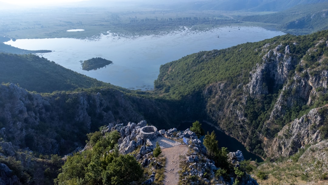
One of the most concrete and observable characteristics of Prokletije is the presence of the katun, the seasonal homes of Montenegrin and Albanian shepherds. These are dry stone structures, often with roofs made of metal sheets or stone slabs, arranged in small clusters on high-altitude plateaus. Some are still used during the summer months, from June to September, and it is common to encounter elderly people offering milk or fresh cheese to passersby. It is not a tourist performance: it is simply the continuation of an economic practice that has found no alternatives.
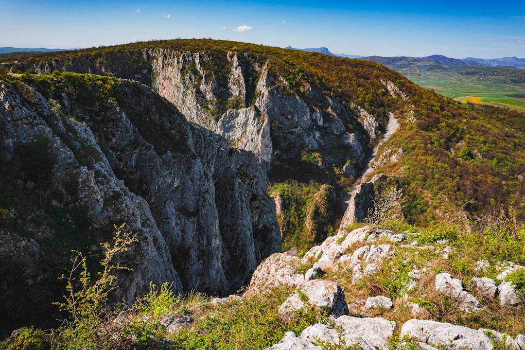
The village of Vusanje, reachable on foot from Gusinje in about an hour and a half, represents one of the permanent settlements closest to the heart of the park. The houses are built of local stone with gardens enclosed by dry stone walls, and the village mosque is one of the visual landmarks of the route. From Vusanje, several trails lead into the park, including the one that leads to the Ropojana River canyon, where the limestone walls narrow to just a few meters in width.
When to go and how to organize
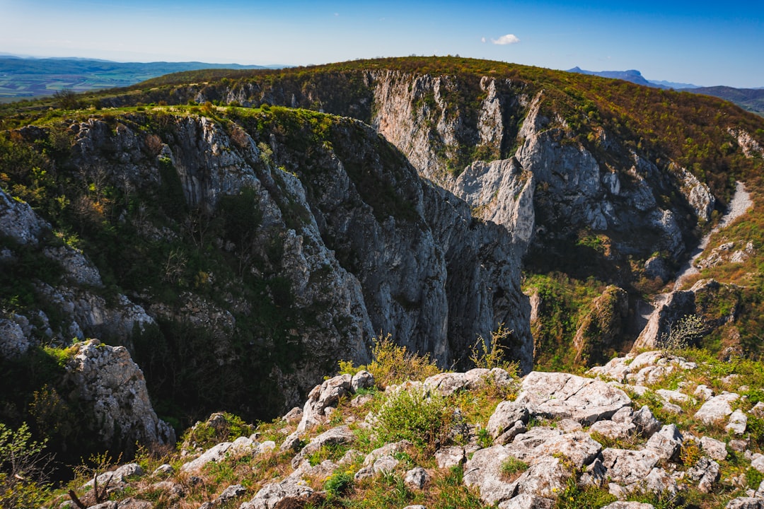
The ideal window for hiking the main trails of Prokletije is from late June to mid-September. Before this period, many high-altitude passages are still covered in snow, and some sections become dangerous without climbing equipment. In August, the park sees the highest number of visitors, but the numbers remain contained compared to more accessible protected areas.
There is no standardized entrance ticket for accessing the trails at the time of writing this article, but the regulatory situation is evolving. Plav can be reached by bus from Podgorica in about three hours, or by car along the road that runs alongside Lake Plav. It is strongly recommended to bring enough water for the entire day, as supply points along the trails are rare and not always reliable. Detailed mapping, such as that produced by the Planinarski Savez Crne Gore (the Montenegrin mountaineering federation), is preferable to any digital application in areas where network coverage is absent.
The rock underfoot: the karst landscape
Walking in the Prokletije means walking on limestone. This rock, which dominates the geology of the entire Dinaric Alps, creates a landscape where water disappears into cracks and reappears kilometers downstream, where the ground alternates between smooth and sharp surfaces, and where sinkholes — circular depressions typical of karst — suddenly open up in the meadows. Some of these sinkholes collect water seasonally, forming small temporary ponds that attract wildlife. The attentive hiker can observe the striations left by glaciers on the rock walls, direct evidence of an ice age that has shaped every valley and ridge of this corner of the Balkans.